Sea and outdoors
Brindisi, where the Via Appia and the Via Francigena del Sud arrive
Quick answer
Brindisi is the end of the Via Appia and a key stage of the Via Francigena del Sud. On the Cammino dell'Appia, the last stage runs from Mesagne to Brindisi, about 16 km, and finishes at the Roman column above the harbour. On the Francigena, walkers arrive from Torre Santa Sabina, about 31 km, via Torre Guaceto, then continue south to Lecce and Santa Maria di Leuca.
| Via Appia end point | The Roman column above the harbour |
|---|---|
| Last Appia stage | Mesagne to Brindisi, about 16 km |
| Cammino dell'Appia | 29 stages from Rome, roughly 550 to 600 km |
| Francigena stage into Brindisi | Torre Santa Sabina to Brindisi, about 31 km |
| Francigena next stage | Brindisi to Torchiarolo, about 25 km |
| UNESCO | Via Appia. Regina Viarum, World Heritage since 2024 |
| Best walking months | March to May and late September to November |
Why Brindisi is the end of the road
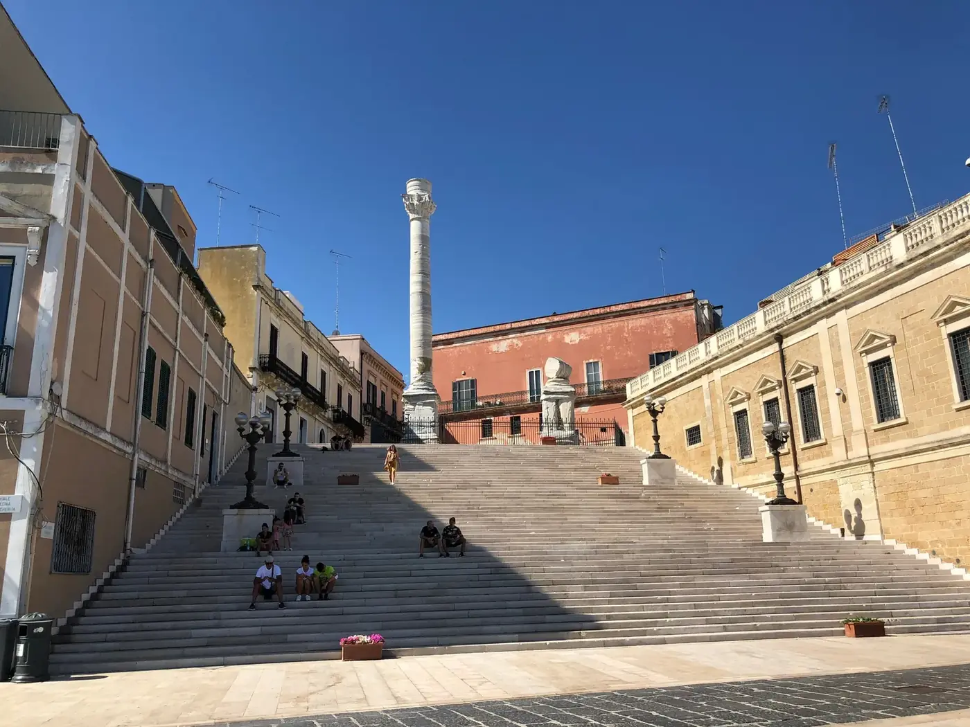
The walkers who come down the steps of the Scalinata Virgilio at the end of a long route have a look you learn to recognise: sunburnt calves, a pack with a shell or a ribbon tied to it, and a slightly lost expression, as if they cannot believe the road has run out. In front of them is the harbour. Behind them, about 600 km of Roman road.
For two thousand years Brindisi was the place where Italy handed travellers over to the sea. The Via Appia, begun in 312 BC, ran from Rome to Capua and was later extended to Brindisi, the port for Greece and the East. Pilgrims to the Holy Land, crusaders and merchants all passed through. Today two walking routes revive that journey: the Cammino dell'Appia, which follows the Roman road to its end, and the Via Francigena del Sud, the southern extension of the pilgrim route from Canterbury, which passes through Brindisi on its way to Santa Maria di Leuca.
Cyclists arrive too: Brindisi is the end of EuroVelo 5, the Via Romea Francigena cycle route. Since 2024 the Via Appia has been a UNESCO World Heritage Site, inscribed as Via Appia. Regina Viarum.
The Cammino dell'Appia: the last stages into Brindisi
The Cammino dell'Appia was promoted by the Italian Ministry of Culture as a walking route across four regions, Lazio, Campania, Basilicata and Puglia, in 29 stages. Published totals vary between about 530 and 600 km depending on the source and the variants you choose. In Puglia it crosses the Murgia, reaches Taranto, then turns east across the flat land of the Brindisi province through Oria, Latiano and Mesagne.
| Stage | From and to | Distance | Character |
|---|---|---|---|
| 28 | Oria to Mesagne | About 16.6 km | Flat, olive groves, the Messapian walls of Muro Tenente nearby |
| 29 | Mesagne to Brindisi | About 16 km | Flat, country lanes then city streets, ends at the Roman column |
The final stretch enters the city on urban pavements; the official route notes Via Brindisi, Via Francesco Vita and Via San Lorenzo Martire. It is not the most beautiful part of the walk, and many people break it with a coffee in Mesagne's lovely old centre before setting off. Then the old town closes around you, the lanes narrow, and suddenly the harbour opens up below the column. Check the official Cammino dell'Appia site for the current route and any diversions before you set out.
The Via Francigena del Sud: arriving from Torre Santa Sabina
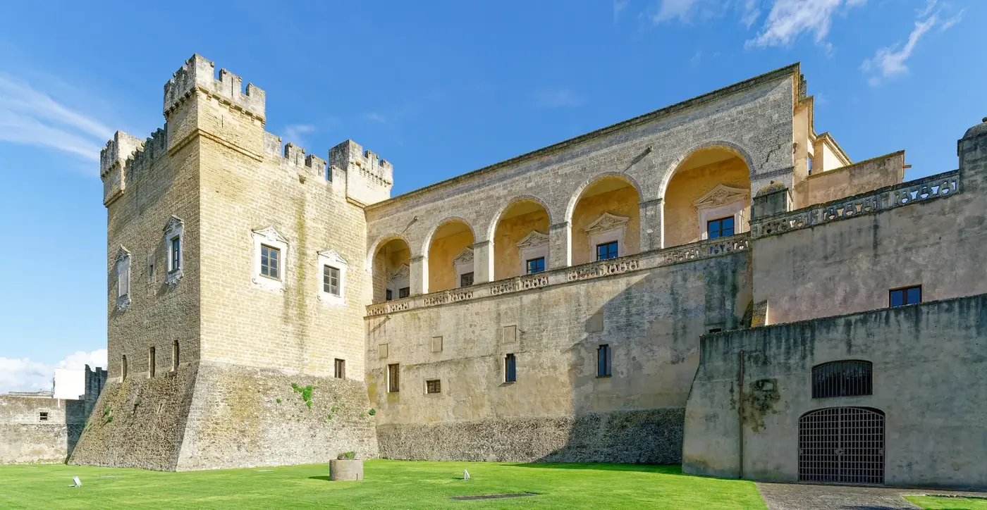
The Via Francigena del Sud continues the historic route from Rome down to Santa Maria di Leuca, about 45 stages in total, with more than 500 km in Puglia alone. After Bari, it follows the Adriatic coast: Mola di Bari, Monopoli, Egnazia, Torre Canne, then Torre Santa Sabina.
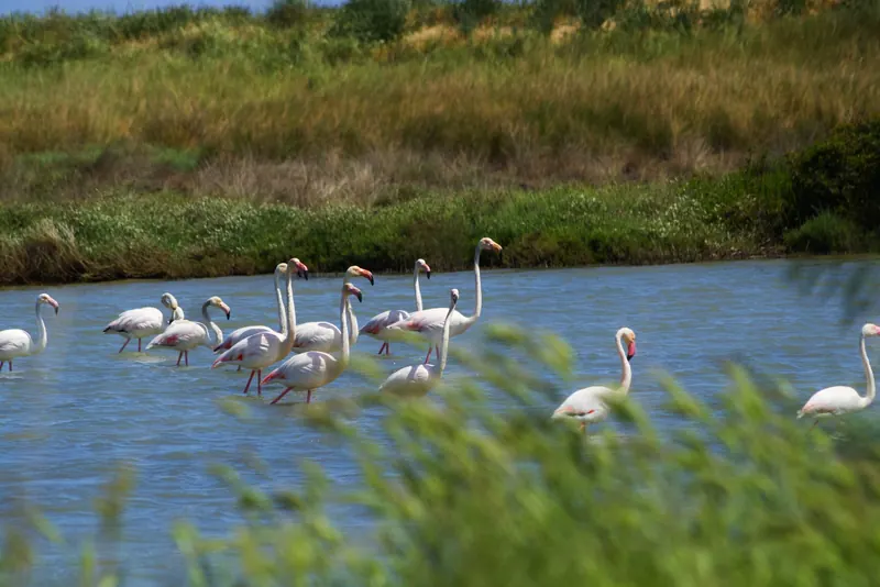
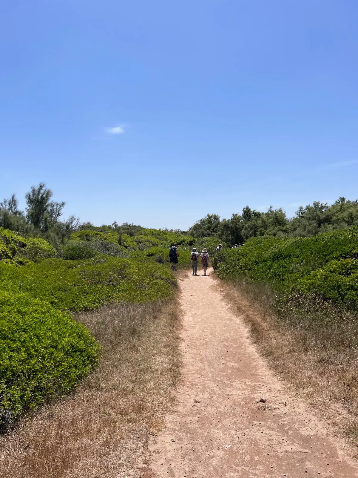
The stage into Brindisi, from Torre Santa Sabina, is about 31 km (some walkers record nearer 33). It is long but flat and beautiful: it crosses the Torre Guaceto reserve, follows the coast past Apani and Punta Penne, and passes the church of Santa Maria del Casale. Walkers who have done it describe the arrival at the Monumento al Marinaio d'Italia on the north shore of the harbour, from where the small passenger boat carries you across to the old town. It is a fine way to arrive: on the water, with the Roman column ahead.
| Stage | From and to | Distance |
|---|---|---|
| 37 | Torre Canne to Torre Santa Sabina | About 30 km |
| 38 | Torre Santa Sabina to Brindisi | About 31 km |
| 39 | Brindisi to Torchiarolo | About 25 km |
| 40 | Torchiarolo to Lecce | About 22.5 km |
Where do pilgrims finish in Brindisi?
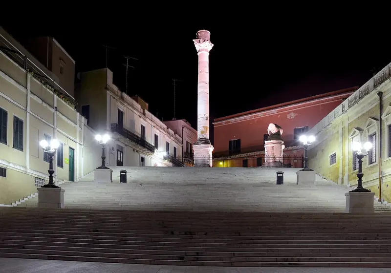
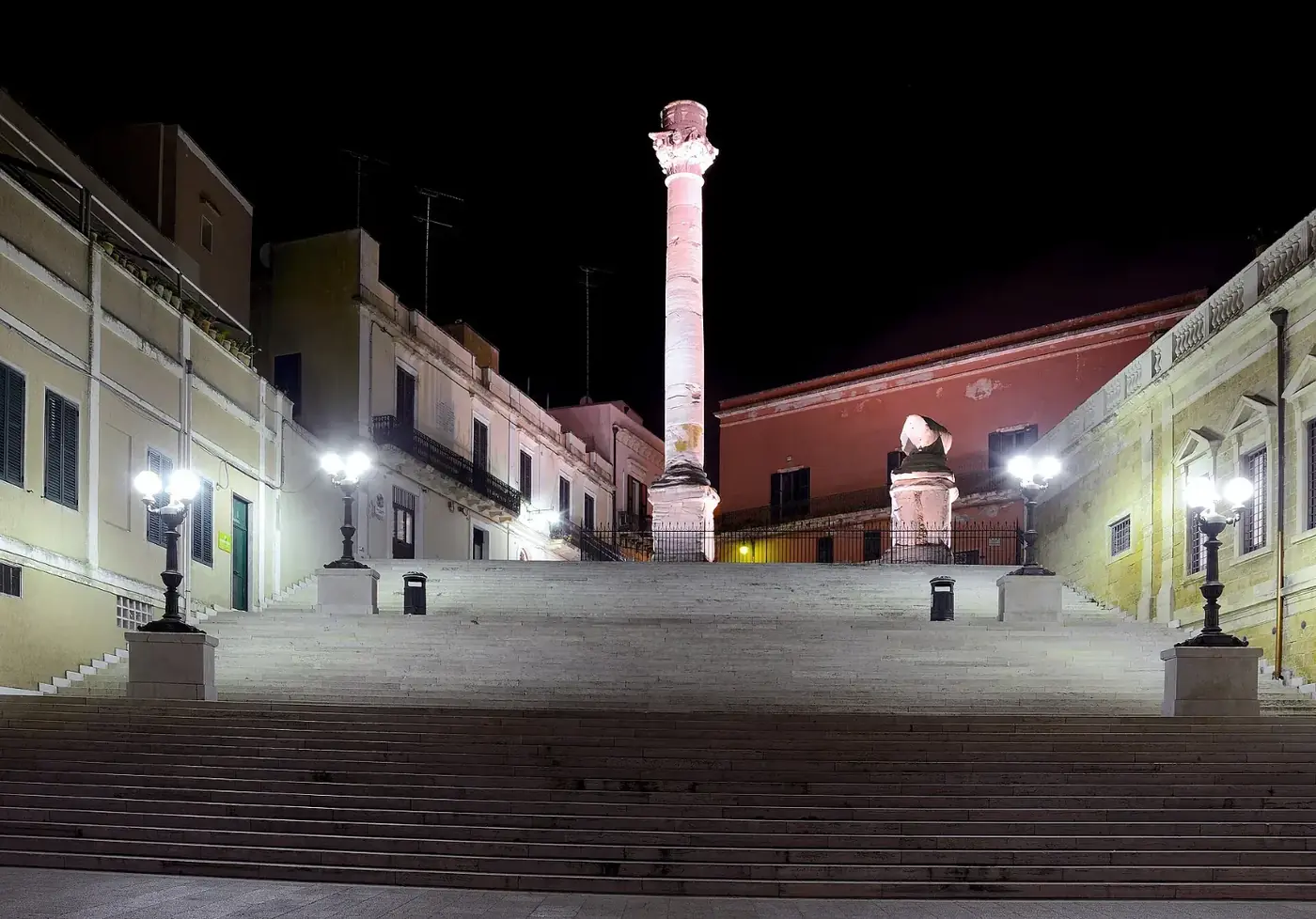
For the Via Appia, the answer is clear: the Roman column at the top of the Scalinata Virgilio, above the harbour. Tradition holds that the column marked the end of the road. Two stood here once; one is still in place, and most of the second was given to Lecce in the 17th century. The original marble capital, carved with gods and tritons, is kept indoors at Palazzo Granafei-Nervegna nearby, and seeing it at eye level is a good way to finish.
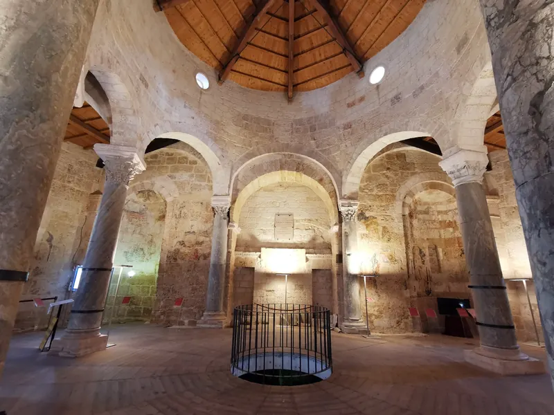
Many walkers also stop at Porta Mesagne, the old gate on the road inland where the Appia entered the city, and at the cathedral in Piazza Duomo, which is worth a visit for any pilgrim. For Francigena walkers, Brindisi is a stage, not the end, but it is a natural place for a rest day before the flat run south to Lecce.
Credentials, stamps and certificates
On the Via Francigena, the pilgrim credential is a small booklet you carry and stamp along the way. It certifies that you are a walker and often gives access to discounts at partner accommodation. It is distributed by the Associazione Europea delle Vie Francigene through viefrancigene.org, and the regional route site terre.it also explains how to get one. Walkers report a cost of a few euros.
In Brindisi you can usually collect stamps at parishes, at the cathedral, at tourist information points and at accommodation along the route; ask politely, and do not be surprised if a café offers its own stamp. For any certificate of completion, check the association's current rules before you leave home, as they change. For the Cammino dell'Appia, check the official route site for current information on stamps and credentials, as the project is still being developed.
Where to rest in Brindisi after the walk
After two or three weeks on the road, most walkers want the same things: a long shower, a washing machine, a kitchen, a bed that is not a bunk, and a day of doing nothing. Brindisi is good at that. The old town is flat and compact, so you can rest your feet and still eat well within a few minutes' walk.
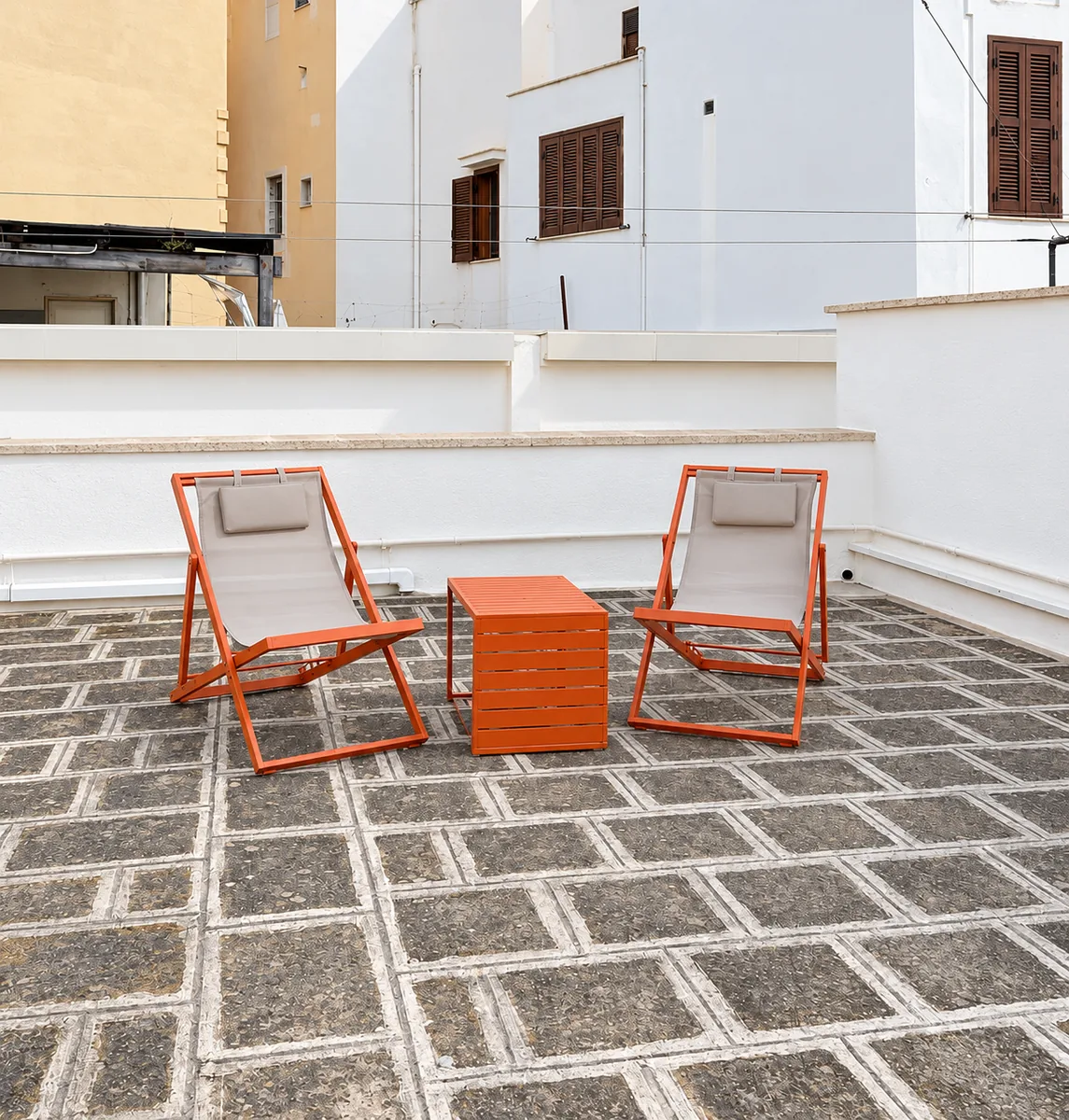
We rent BDS House, a whole home in the old town at Vico D'Orimini 11, a few minutes' walk from the Roman column. It sleeps up to six, so a group of walkers can share; it has a full kitchen, a washing machine, air conditioning, and two private terraces where you can stretch out at sunset. Check-in is from 14:00, which fits the end of a morning stage. The railway station is about 750 metres away and the airport about 10 minutes by car, so getting home is easy. You can see dates and book here.
When to walk, and how to get home
The best months for the final stages are March to May and late September to November: mild, dry and green in spring, warm with clear light in autumn. From mid-June to early September the flat, shadeless stretches are very hot; start at first light and finish by late morning. Winter is mild but can be windy and wet on the coast. Early October brings Appia Day, a national weekend of walks and rides along the Via Appia, with events in Brindisi.
Getting home is the easy part. Brindisi airport (BDS) is about 10 minutes from the old town, with flights to Rome, Milan and other European cities; see our airport guide. Trains run north along the Adriatic. And if you want to finish the journey the ancients made, ferries still sail from Brindisi to Greece: our ferry guide explains the routes to Igoumenitsa and Corfu.
Seeing the Appia country without walking it all
If you are not walking the whole route but want a taste of it, base yourself in Brindisi and do the last stage in reverse order: train or bus to Mesagne, look around its old centre, then walk about 16 km back to the column. Or cycle it: the land is flat and quiet lanes follow the line of the road.
Within half an hour you can also reach Oria, with its castle and Messapian roots, and the archaeological park of Muro Tenente near Mesagne. Our guide to the villages of the Brindisi province covers these towns, and our walks and hikes guide has shorter routes for a rest day.
Questions travellers ask
Where does the Via Appia end?
By tradition, the Via Appia ends at the Roman column at the top of the Scalinata Virgilio, above the harbour in Brindisi. From here travellers in Roman times took ship for Greece and the East. The original capital of the column is kept at Palazzo Granafei-Nervegna nearby.
How long is the last stage of the Cammino dell'Appia?
The final stage, from Mesagne to Brindisi, is about 16 km and flat, on country lanes and then city streets, ending at the Roman column. The stage before it, from Oria to Mesagne, is about 16.6 km through olive groves.
Does the Via Francigena pass through Brindisi?
Yes. The Via Francigena del Sud reaches Brindisi from Torre Santa Sabina, a stage of about 31 km that crosses the Torre Guaceto reserve, then continues south to Torchiarolo, Lecce and finally Santa Maria di Leuca. Brindisi is a stage, not the end point.
Where can I get a Via Francigena credential?
The credential is distributed by the European Association of the Via Francigena Ways through viefrancigene.org, and the regional site terre.it explains how to request one. It costs a few euros, collects stamps along the way and gives discounts at partner accommodation. Order it well before you start.
Where can I get my credential stamped in Brindisi?
Usually at the cathedral and other parishes, at tourist information points and at accommodation along the route. Ask politely; many places are happy to stamp.
How long is the Cammino dell'Appia from Rome to Brindisi?
The route is divided into 29 stages across Lazio, Campania, Basilicata and Puglia. Published totals range from about 530 to 600 km, depending on the source and the variants. Most walkers need four to five weeks for the whole route, or walk it in sections.
Is the Via Appia a UNESCO site?
Yes. Via Appia. Regina Viarum was inscribed on the UNESCO World Heritage List in July 2024. The site covers more than 800 km of the road and its Via Traiana variant across four regions, including sections in Puglia that lead to Brindisi.
What is the best time to walk to Brindisi?
March to May and late September to November. Summer is very hot on the flat, shadeless final stages, so if you walk then, start at dawn and finish by late morning. Early October has Appia Day, with walks and rides along the road.
Sources and further reading
- Visit Puglia: Via Francigena stages in Puglia
- Cammini d'Italia: Via Francigena nel Sud
- Cammino dell'Appia (official route site)
- Appian Way on Wikipedia
Times and prices are approximate and change by season. Last checked on 3 October 2026.